Digital Photograph: Hagley Park
Maker
Sarah Murray
Production date
06 September 2010
Description
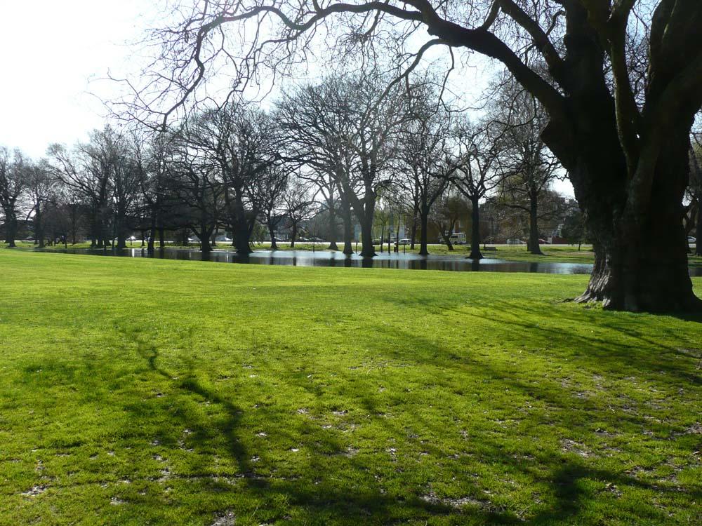
One landscape colour digital photograph taken on 6 September 2010 showing water table alteration in a view towards Park Terrace from Hagley Park, near the Armagh Street bridge.
See full details
Object Detail
Localised flooding occurred with each of the major earthquakes in Canterbury in 2010- 2011. Its causes were both natural from disturbances to the water table and soil structure; and from broken water, storm water or sewage pipes. Areas surrounding the rivers and low lying parts of the coast were particularly badly effected. In most parts of Christchurch the flooding drained away, however in areas where the ground subsided the land is more susceptible to flooding from heavy rain or large high tides.

Subject Auto Tags
Share
Comments
Can you add to our information about this item? Click Add Comment to share your knowledge and help enrich our collection. Have a question about this item? Please email info@canterburymuseum.com.
Be the first to comment.
To order a copy of this image please contact Canterbury Museum images@canterburymuseum.com
Unless otherwise stated, or an author is acknowledged, Canterbury Museum holds copyright to all information on Collections Online. All efforts have been made to trace copyright holders. Please contact the Museum with any queries on this matter info@canterburymuseum.com
The information on this page was created from historic documentation and may not reflect the best available knowledge about the item. If you have information or questions about the objects on this website, please contact us. Images may be subject to copyright laws and are therefore not of reproduction quality.
Find out more about the people and the organisation behind Canterbury Museum. See what jobs are currently available and how to hire the Museum as a venue for your event.